Issaquah Alps Hikes
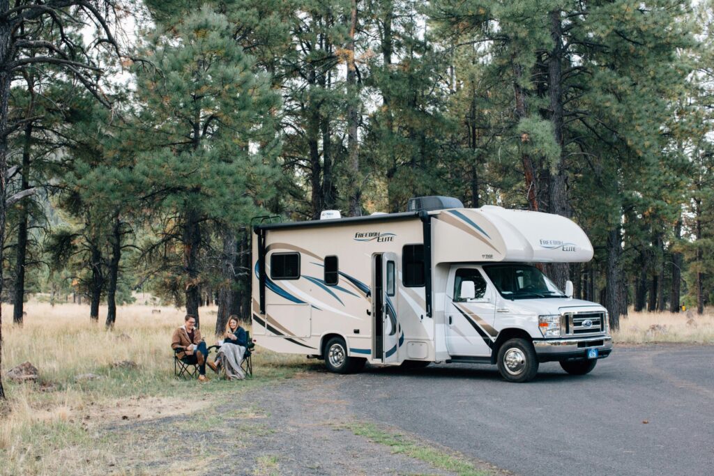
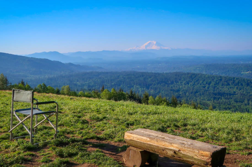
Your Quick Guide to the Best Hikes in the Issaquah Alps Just outside the energetic pulse of Seattle, the Issaquah Alps stand as a quick retreat to nature. It has some of the best hikes and peaks in the region such as Poo Poo Point, West Tiger #3, Squak Mountain, and Cougar Mountain. Whether you’re a seasoned hiker or beginner, these Issaquah Alps hikes offer a variety of experiences—from quiet forest paths to challenging climbs with breathtaking views. You’ll enjoy hiking on a network of trails shaped by the footsteps of many adventurers. Such an excellent way to connect with nature! This guide will offer you: The best ways to get to Issaquah Alps from Seattle and Bellevue Detailed descriptions of various hiking trails, including their difficulty levels and unique features Tips on the best times to visit, what to bring, and how to stay safe during your hike Recommendations for RV-friendly activities in the area How to Get to Issaquah Alps The Issaquah Alps are easily accessible from Seattle and Bellevue, two major cities in WA. Whether by car or public transit, these cities offer convenient routes to the trailheads. From Seattle to the Issaquah Alps You can get to Issaquah Alps from Seattle by car, public transport, or taxi. By Car Direct route: Take I-90 E from Seattle. Depending on your exact trailhead destination, exits 15 through 20 will lead you into different parts of the Issaquah Alps. The typical drive time is around 30 minutes in good traffic conditions. Scenic option: Opt for the Lake Sammamish Loop, starting on WA-520 E and connecting to WA-202, enjoying the scenic drive around Lake Sammamish before joining up with I-90 E near Issaquah. By Public Transit Bus: King County Metro and Sound Transit offer bus services with routes that stop in Issaquah Alps. Sound Transit Route 554 operates a bus from S Jackson St & Maynard Ave S to E Sunset Way & Rainier Blvd S every 30 minutes. It’s a 37-minute journey. King County Metro operates twice daily through the same route, and it takes about 49 minutes to reach Issaquah Alps. Whichever option you choose, be certain you’ll be dropped in the heart of Issaquah within a short distance of several trailheads. Light rail to bus: Future expansions of the Sound Transit light rail system will enhance access to the Issaquah area, making it even easier for hikers without a car. Travel Tip: For both car and transit travelers, check the latest traffic updates and transit schedules before you leave, as peak times can significantly alter travel plans. Plan for extra time on weekends and holidays, especially in good weather as these popular trails draw many visitors. By Taxi You can also take a Taxi from Seattle to Issaquah Alps. The average time is 21 minutes with an estimated price of $50-$65. Top taxi services in the region include: STITA Taxi Seattle Yellow Orange Cab From Bellevue to the Issaquah Alps Similar to Seattle, you can get to Issaquah Alps from Bellevue by car, taxi, or public transit. By Car Fastest route: Take I-90 E directly from Bellevue. With lighter traffic, you could reach the Alps in under 20 minutes. Alternative route: For a less freeway-dependent route, consider taking Bellevue Way SE to I-90. This route provides a mix of urban and interstate driving. Expert Tip: Arrive early at Issaquah Alps trailheads as parking fills up fast. By Public Transit Multiple bus lines can connect you from Bellevue to Issaquah, including: Line 271 bus which offers a direct link to the Issaquah Transit Center. It takes about 41 minutes to get to the Alps. Line 550 and Line 554 buses are other suitable options. By Taxi It takes an average of 15 minutes to get to the Issaquah Alps by taxi. Most taxi services cost $35-$45. Examples include: STITA Taxi Seattle Yellow Cab Orange Cabs Popular Peaks of the Issaquah Alps Issaquah Alps is known for its peaks that have stunning views and diverse ecosystems. These peaks also have a variety of hiking trails, making them a favorite among hikers of all levels and nature enthusiasts. Popular peaks of the Issaquah Alps include: Tiger Mountain Tiger Mountain has an elevation of 3,000 feet at the highest peak. The best trails for hiking include: Poo Poo Point Trail: A moderate 7.2 miles round trip with a steady incline, renowned for its paragliding launch pad and stunning views of Mount Rainier on clear days. West Tiger 3: A more challenging option at about 5 miles round trip with an elevation gain of 2,001 feet. It’s a popular training ground for its steep, thigh-burning sections. Tiger Mountain Trail: Spanning over 15 miles one way with an elevation of 2,360 feet, this trail is for the more dedicated hiker-thoroughly exploring the mountain’s rugged terrains. For the Sporty: The Tiger mountain offers mountain biking trails, from challenging downhill courses for experienced riders to more moderate options like the Preston Railroad Grade and Northwest Timber trails. Cougar Mountain Cougar Mountain has an elevation of 1,595 feet at its highest point. The top trails in Cougar Mountain include: Wildside Trail-De Leo Wall Loop: A 4-mile loop of moderate difficulty, featuring waterfalls and a sweeping view of Bellevue and Lake Washington. Coal Creek Falls Trail: An easier, family-friendly 2.5-mile round trip hike leading to a lovely waterfall, especially full during the wet season. Squak Mountain Squak Mountain has an elevation of 2,024 at the summit. A portion of the mountain is the 1,545-acre Squak Mountain State Park. Popular trails here include: Squak Mountain Connector Trail: It’s a 3.6-mile round trip and is an excellent option for those seeking a less crowded experience. Central Peak Trail: A steep 3.9-mile round trip that offers a workout with the reward of reaching the top, where views peek through the dense forest. Did You Know? The Squak Mountain is home to the Snoqualmie and Duwamish People. Taylor Mountain Taylor Mountain has an elevation of 2,625 feet at the highest point. Notable trails in this mountain include: Taylor Mountain Trail: A 5-mile round trip with moderate